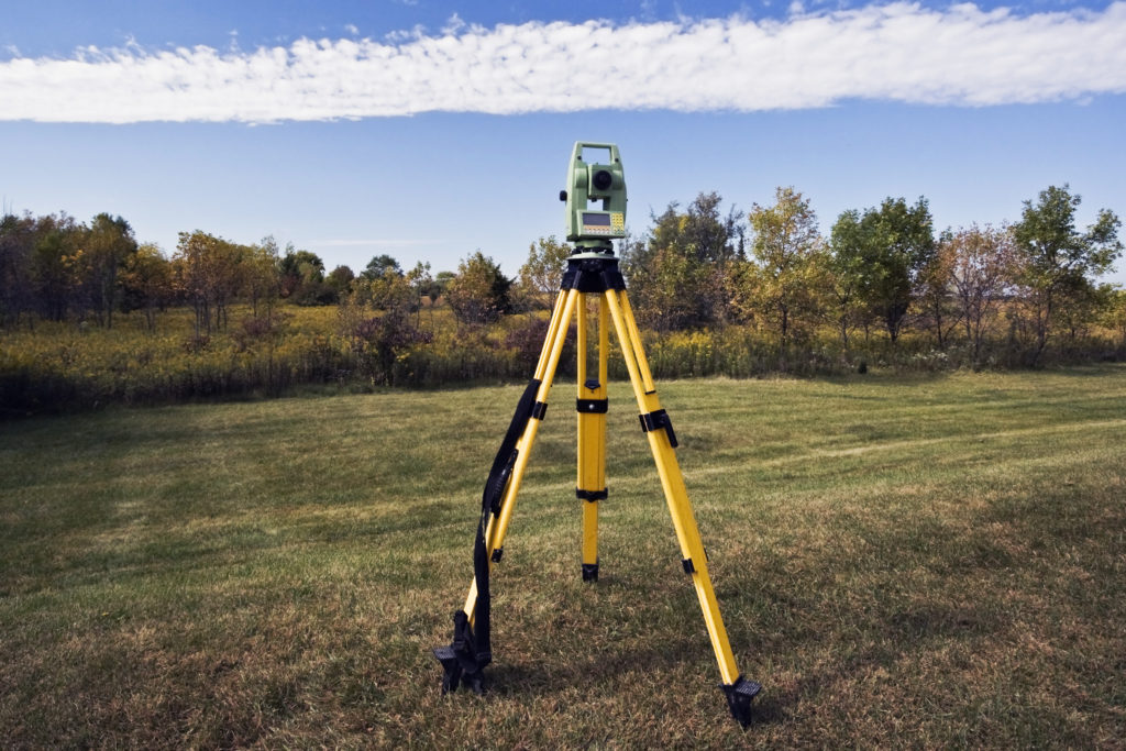
Land surveying is both the profession and science of measuring land surface area. It involves measuring distances and angles using fundamental knowledge in geometry, physics and trigonometry.
Land surveying plays an essential role in society’s growth. It provides information about many things like land boundaries, sizes, landscape conditions, tree locations and sidewalks.
Different types serve different purposes, just consult surveyors near you. These are the advantages of land surveying.
- Optimizing Land Development
Land surveying plays a crucial role in land development. Land surveying is crucial for creating roads and highways and railways, as well as infrastructures and private subdivisions. Land surveying is essential for the construction of modern infrastructure.
This helps to construct the best roads possible – reducing time and increasing safety. This is accomplished by studying past engineering work in the area and its current geological condition. Surveyors can use data from land surveying to determine the obstacles they may face and develop the best solutions.
Similar to the above, data gathered from land surveys is crucial in the construction and maintenance of public infrastructures, such as water pipes and electric posts. This allows efficient design and construction for streets and homes, particularly in subdivision settings.
Privately owned lands are also eligible for this benefit. It provides engineers and architects with the information they need to optimize your home design.
- Locating And Mapping Underground Resource Locations
Surveyors can now examine potential mining locations using current technologies in land surveys. This type of surveying can be done with modern equipment, such as portable XRF analyses that can locate the concentrations in land formations of ores using geochemical data.
This method of finding potential mining locations reduces the effort required and thus, the potential for risks. It also records data on the layout of the land masses (dimensions of mines and their tunnels), to help determine if it is in a safe working environment for workers.
Land surveying is also a useful tool for environmental planning. Mining companies conduct environmental planning to minimize or even eliminate the negative impacts of mining activities on the surrounding area and the environment.
- The Determination Of The Correct Boundaries
The most important contribution it makes to the common citizen is that it helps avoid unnecessary property disputes and lawsuits. Land surveying is useful not only for the development of land and resources but also for the resolution and prevention of land property conflicts.
You can examine the boundaries of your land to determine whether they are properly labelled and in compliance with any existing titles.
Engineers and architects also benefit from information regarding your land. This helps them to plan and build the infrastructure they want and make any modifications as needed. It can be used to install fences, add a garage or pool, and so on. Because you know you won’t be breaking any laws or overstepping your limits, it allows you to make modifications easily.
This is crucial in the real estate market. The price of land can change depending on many factors including the demand, current and future uses, location, size, and overall topography. These three factors can be easily assessed using land surveying. Land surveying provides valuable information that can be used to make better decisions.

